Skip to main content
Please ensure Javascript is enabled for purposes of
website accessibility
Toggle navigation
About Us
Surveys
Services
Info Desk
News & Events
Gallery
Search form
Search
اردو
Crop Assessment
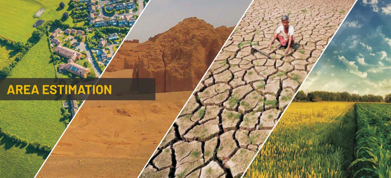
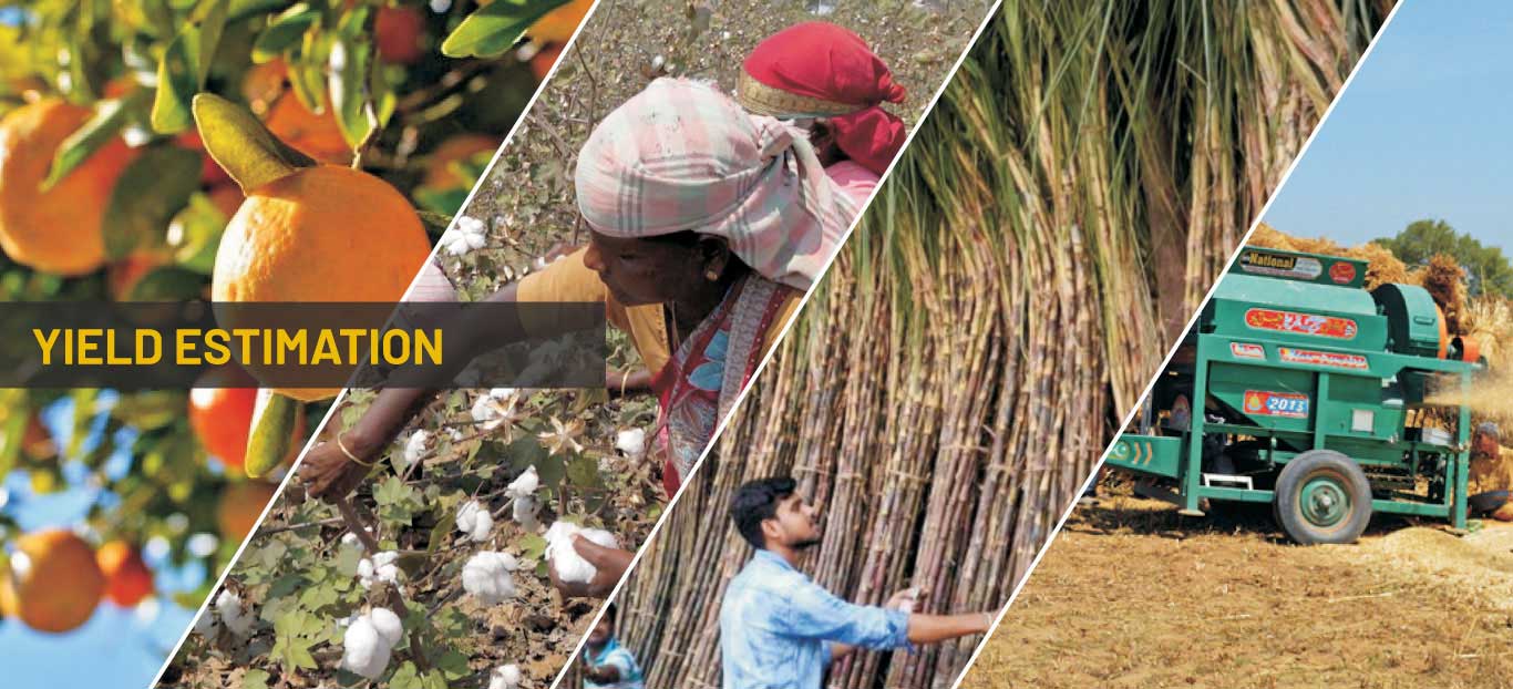
Crop Reporting Service releases estimates of area, production and average yield of all crops in the Punjab
Services
Crop Details
Agricultural Machinery
Land Use
Cost of Production
Harvest Prices
Schedule of Surveys
Logo
Kharif Crops
Logo
Rabi Crops
Logo
Special Survey
Info Desk
Frequently Asked Questions
Crops Statistics
Remote Sensing Maps
Technical Manuals
Publications
Farmer Registration Form